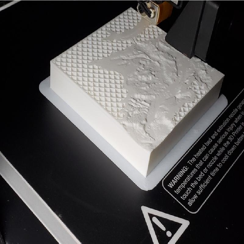

by JayJo
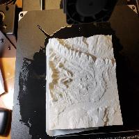
first design tested with a spitter
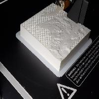
Printer Brand:
Monoprice
Printer:
Maker Select Plus
Rafts:
Yes
Supports:
Yes
Resolution:
.06
Infill:
gradual
Filament: Hatchbox PLA white
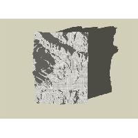
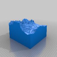
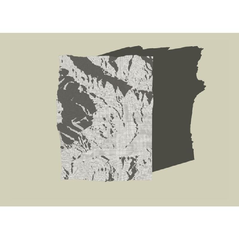
conversion of US Geological data
This was a model derived using the instructables lesson on converting USGS raw data to usable 3D printable files.
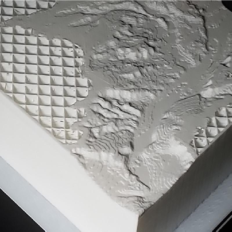
This is my Samaria ; )
I was able to create a usable STL file in Sketchup and "close" the model
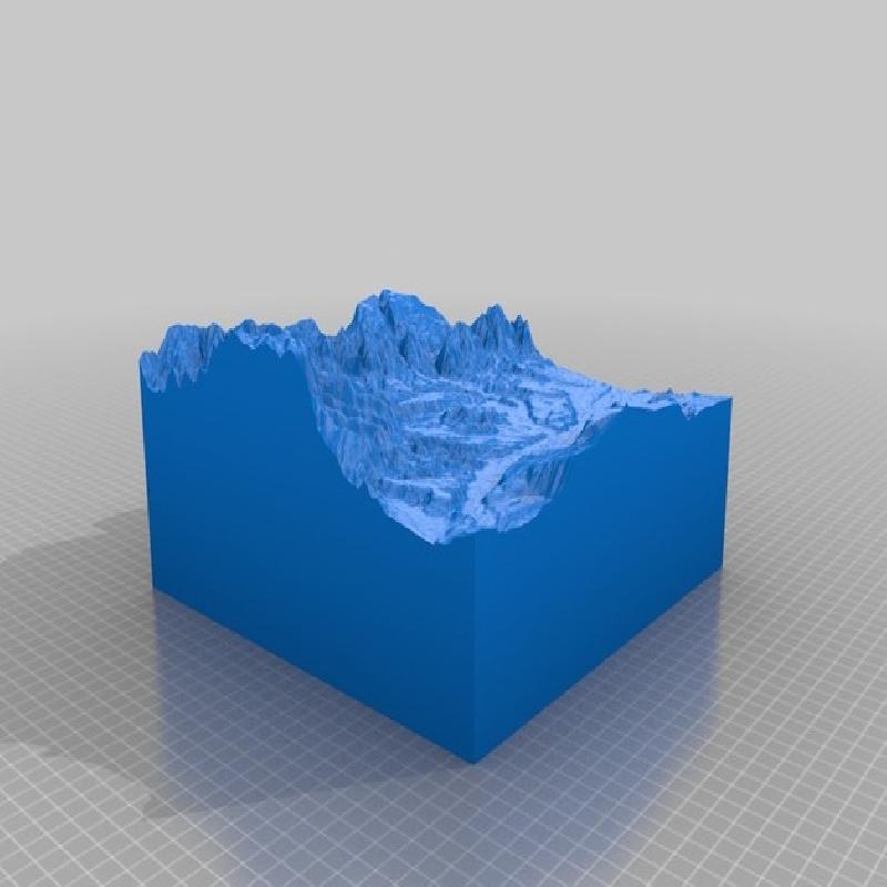
Your Samaria
Children will download USGS topographic raw data from the internet.
Use a systematic lesson plan, based on an instructables,
develop a 3D printable model of their "Samaria"
Students can modify the data to enhance the scale of the Z coordinate
Opens the door to many visual learners to the wonders of scale and topography
Topography, after all, is just area on a changing z coordinate
landform
topography
sun angle
3D printing
data
technology
visually identify
Each of these geographical features are readily identifiable
Hogback Mountain range
Rifle Gap
The Bookcliffs
Grass and Hunter Mesa
RCS 2018